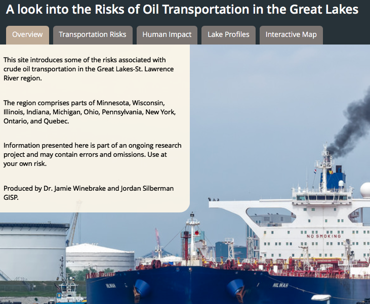
This is a ESRI StoryMap we created examining the risks of transporting oil through the Great Lakes. The maps were created with ESRI ArcGIS and presented with StoryMaps.
https://www.arcgis.com/apps/MapSeries/index.html?appid=43715e278a614d9c89cfe6f2796dcaea
